-

Longleaf pine has been planted on either side of this road.
-

Coosa WMA
-

A pine tree with a red-cockaded woodpecker nest hole.
-

An artificial cavity has been installed in this pine tree for the red-cockaded woodpecker.
-

Red-cockaded Woodpecker using an artificial cavity.
-

Red-cockaded woodpecker
-

Shooting range
-

Longleaf pine planted on the Coosa WMA
-

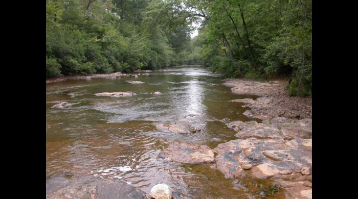
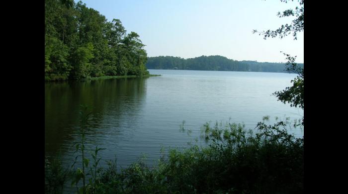
Coosa WMA
-

Coosa WMA
-
-
-

Foot bridge on the Coosa WMA
-

Southern Terminous of the Pinhoti Trail
-

Pinhote Trailhead
-

Trailhead Kiosk
Overview
Situated within the Coosa Wildlife Management Area, one of Alabama’s oldest established public hunting areas, is the Coosa WMA: Cahaba and Columbiana, Hancock Phase II and Weogufka Tract in Coosa County. Its 11,350 acres of mountain longleaf habitat share space with hardwood drains of the Weogufka and Hatchet Creek watersheds.
Article on the Coosa WMA Addition
Birding
The Coosa WMA is a stop on the Piedmont portion of the Alabama Birding Trail and gives viewers the chance to see many songbirds, raptors, and game birds. This property has one of the last remaining populations of red-cockaded woodpeckers not on a National Forest. View recent sightings.
Camping
Two primitive campsites are available on a first-come, first-served basis. There is no fee for using these sites. Coordinates for the camping areas are as follows:
32.87428 32.89260
-86.38505 -86.41637
Hiking
The Coosa WMA hiking trail is a moderate trail with plenty of views for hikers. The 11-mile trail has parking at both ends of the trail and two primitive campsites for people to stay overnight. See parking lot coordinates below.
Approximately 10 miles north of the Coosa trail, hikers can find the southern terminus of the Pinhoti trail on the Weogufka State Forest Addition.
Hunting
Hunters must possess a valid hunting license, a WMA license and a free map/permit. Permits and other WMA information may be downloaded from the Wildlife Management Areas webpage.
![]()
Location
See this tract on an interactive map.
Directions
From Clanton, take US 31 South approximately 4 miles to AL-22. Turn left on AL-22 and travel approximately 12.8 miles to Coosa Co. Rd. 29. Turn left on Co. Rd. 29 and go approximately 6 miles. The check-in station is near the junction of Co. Rd. 29 and Co. Rd. 15.
From Alexander City, take AL-22 approximately 22 miles to Coosa Co. Rd. 29. Turn left onto Co. Rd. 29 and follow the above directions to the check-in station.
Coordinates for the parking areas:
32.89441 32.89441
-86.41782 -86.34226