View tracts on interactive map
View tracts by alphabetical listing
Highlighted Forever Wild Tracts Story Map
Forever Wild Acquisitions - (pdf) Complete listing of purchased tracts by date
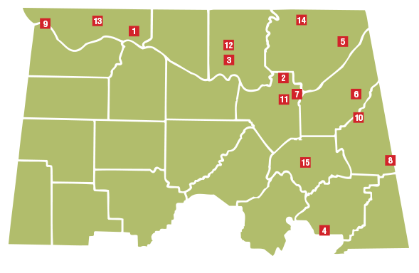
NORTH DISTRICT
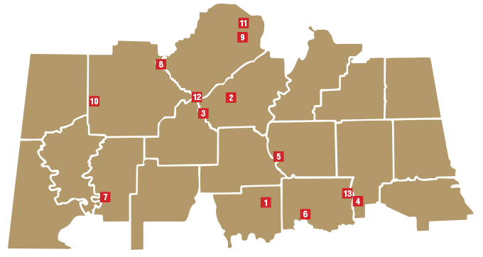
CENTRAL DISTRICT
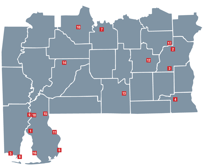
SOUTH DISTRICT
View tracts on interactive map
View tracts by alphabetical listing
Highlighted Forever Wild Tracts Story Map
Forever Wild Acquisitions - (pdf) Complete listing of purchased tracts by date